Warsaw in voxels: explore a miniature city built from real map data

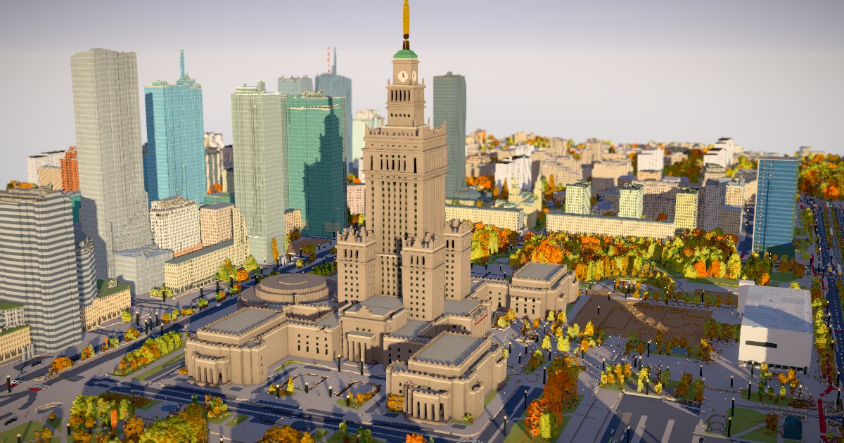
Fly over central Warsaw, change the season and light, or click a pedestrian to explore at street level.
Piotr Migdał’s browser diorama combines OpenStreetMap with Polish LiDAR, aerial imagery and tree records. The code history credits Claude with implementation work; the city data comes from credited public sources.
A revealing detail: autumn foliage follows tree species, while windows and moving traffic are procedural rather than live observations. Players praise the lighting and exploration, but report uneven performance. This is a partial city model, with the Old Town outside its coverage.
Source and build notes: github.com/stared/warsaw-vibe-voxel