A map for finding land that actually borders a public forest
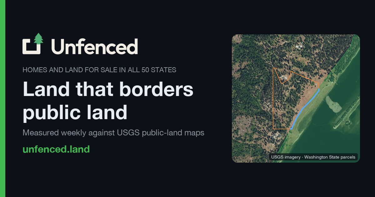
A listing says “borders public land.” Do the boundaries actually touch? Unfenced compares US property listings with parcel boundaries and official public-land maps, then shows the shared edge.
Other Waters Studio's maker used mostly Claude Code, bringing their own geospatial background, data sources and decisions about what counts as bordering. It turns a repetitive map-checking task into something you can browse.
The site distinguishes shared boundaries from nearby land and flags missing parcel data. Its measurements depend on those records and aren't a survey.
Creator's build notes:
news.ycombinator.com/item?id=50102251